
Pick the trail that fits your day
You do not have to be an experienced hiker to enjoy the Branson area. Some trails are easy paved walks, some take a little more effort, and a few are better if your group is ready for hills, rocks, or a longer outing.
If you are staying a few days, I would choose based on how much energy everyone has that day. For an easy walk, try Roark Creek. For views, try Henning Conservation Area. For something close to town with a little adventure, Lakeside Forest is hard to beat.
Good trail habit: Bring water, wear decent shoes, and check conditions if it has rained recently. Ozarks trails can get rocky, muddy, and slippery in places.
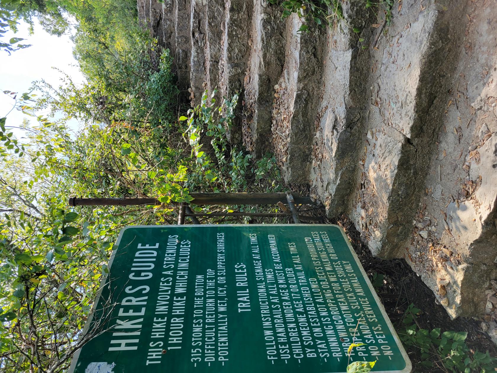
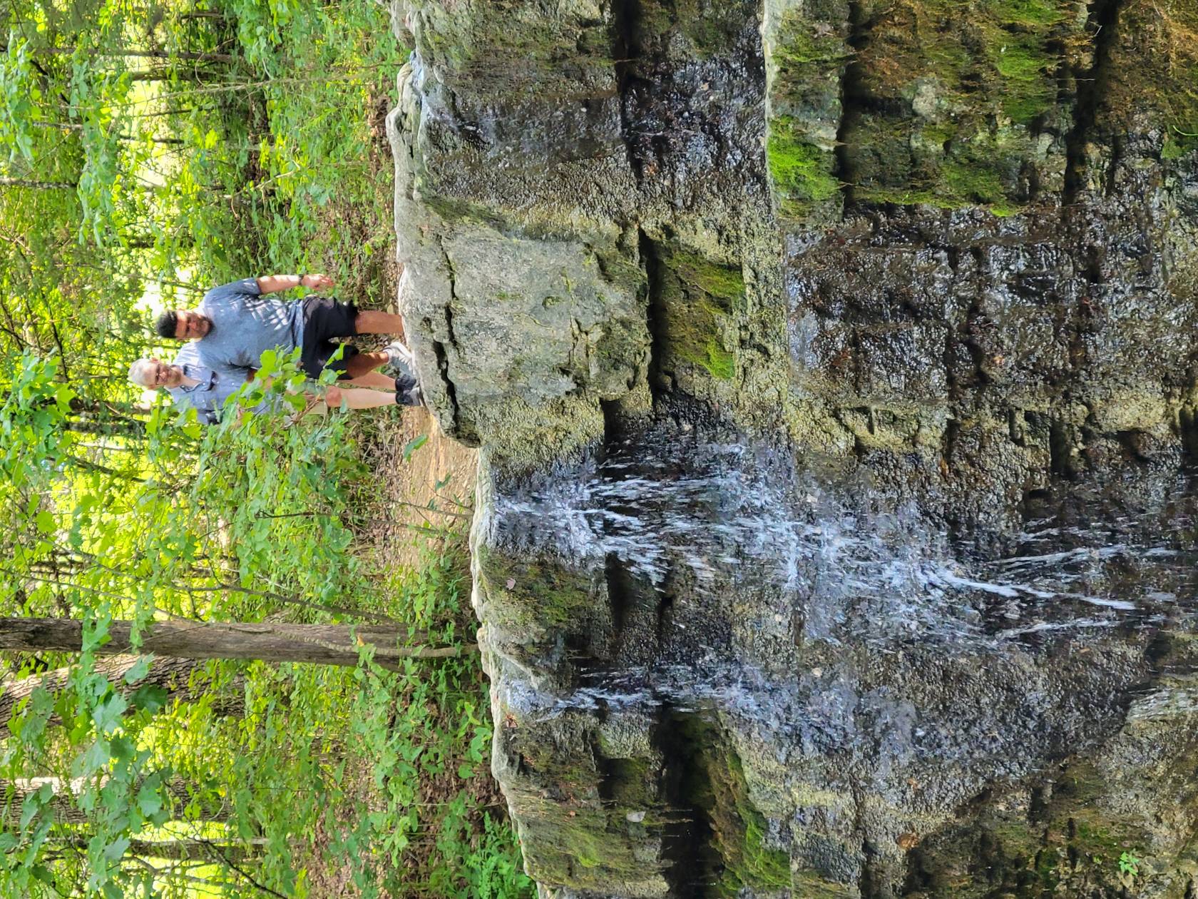
Lakeside Forest Wilderness Area
- Location: Lakeside Forest Wilderness Area, 412 Owen Lane
- Distance: About 5.3 miles of trails total
- Difficulty: Moderate, especially if you take the stone steps
Lakeside Forest is one of my favorite places to recommend because it gives you a little bit of everything. There are wooded trails, lake views, a waterfall, a small cave, stone walls, and the remains of an old homestead.
The most memorable part is the long stone stairway down toward Lake Taneycomo. There are more than 300 steps, so keep in mind that going down is the easy part. Coming back up takes more effort. But if you are up for it, the views and the setting are worth it.
Good choice for: A scenic hike close to town with a little history mixed in.
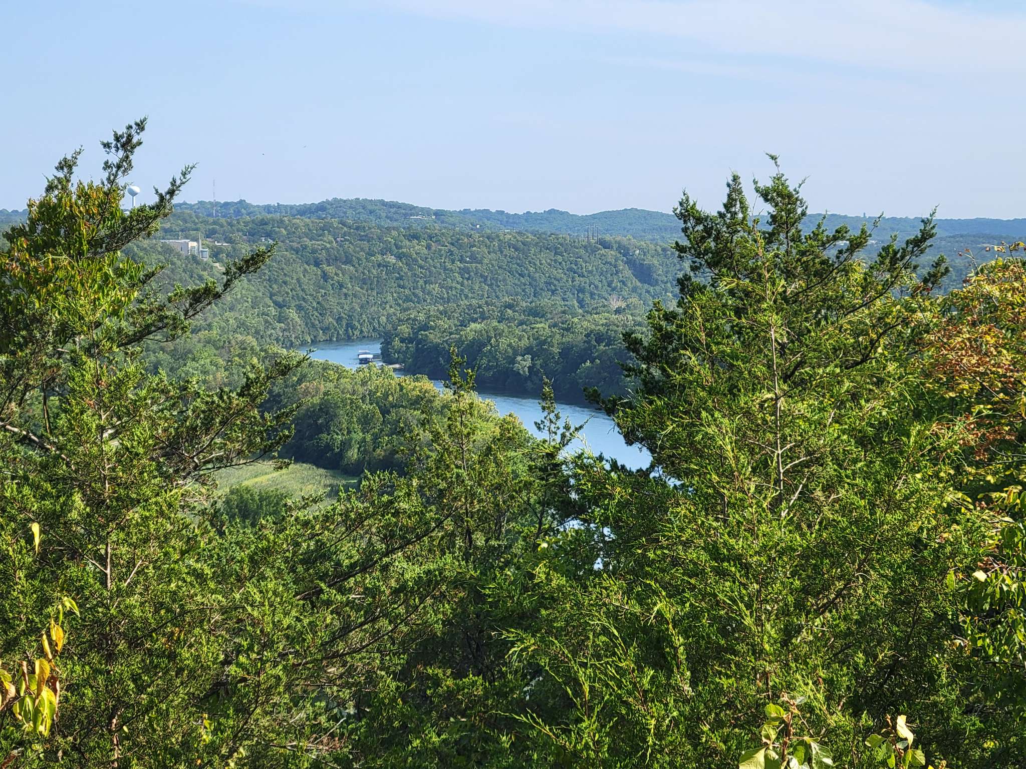
Ruth and Paul Henning Conservation Area
- Location: Ruth and Paul Henning Conservation Area, near Shepherd of the Hills Expressway
- Distance: Multiple trails, with about 5.6 miles total
- Difficulty: Easy to moderate
Henning Conservation Area is a peaceful place to walk without feeling too far from Branson. The trails take you through woods, glades, and quiet Ozark scenery.
One of the highlights is the Dewey Bald overlook area. It is a great place to take in a wide view of the hills and surrounding area. This is a good option if you want something that feels outdoorsy but does not require an all-day commitment.
Good choice for: Families, casual hikers, and anyone who wants a good Ozark view.
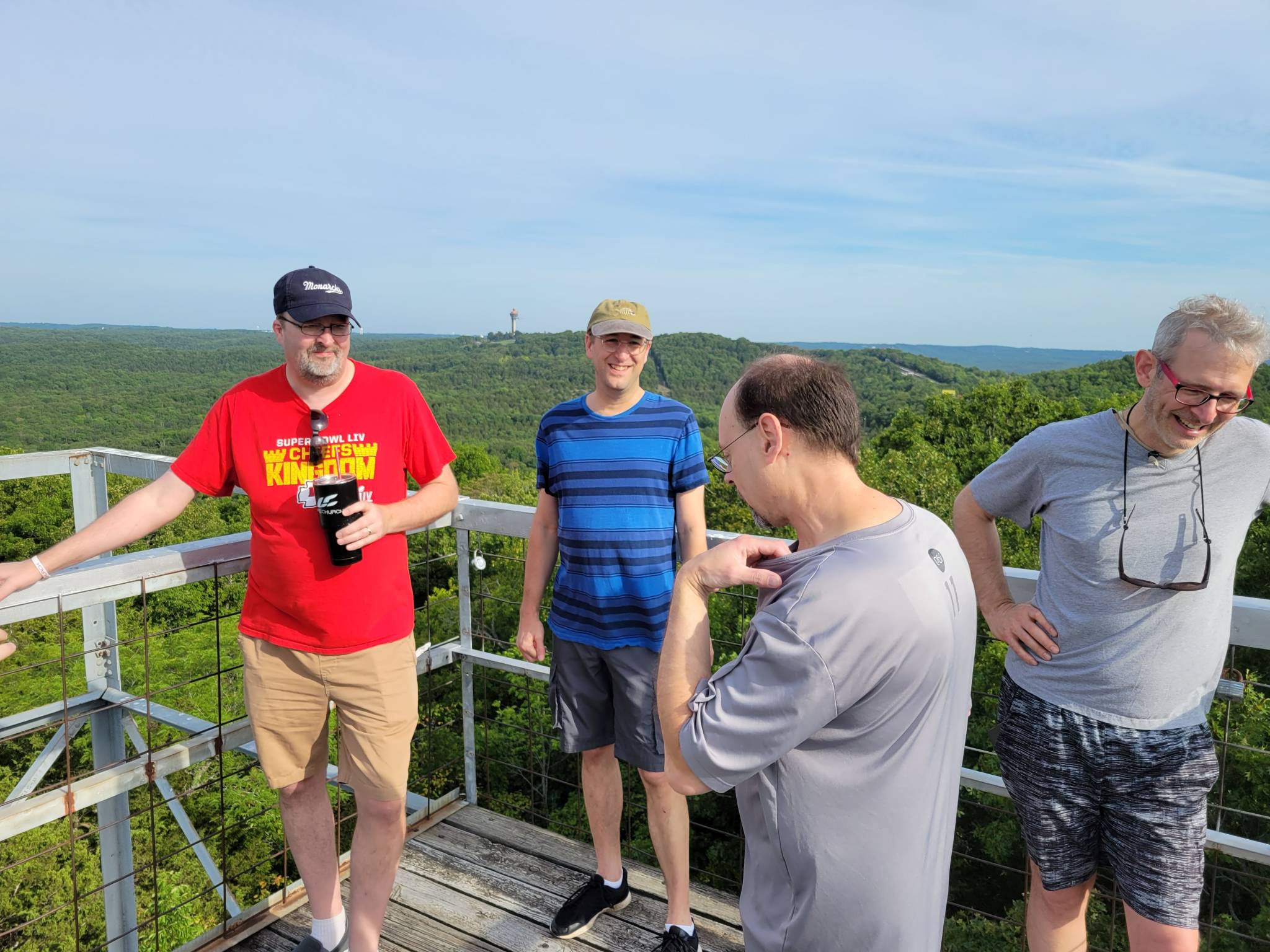
White River Valley Trail System
- Location: Table Rock State Park
- Distance: About 11.5 miles total, depending on the route you choose
- Difficulty: Moderate to challenging
The White River Valley Trail System is a better fit if you want a more active hike. It is also used by mountain bikers and trail runners, so you will want to stay aware of others on the trail.
There is a nice mix of wooded areas, hills, rocky sections, and lake-area scenery. You do not have to do the whole trail system to enjoy it, but it is a good choice if you want something more than a short walk.
Good choice for: Longer hikes, mountain biking, trail running, and more active outdoor time.
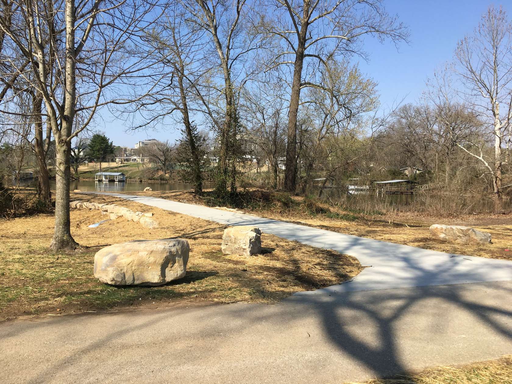
Roark Creek Trail
- Location: Roark Creek Greenway
- Distance: About 3.2 miles total, with about 2.7 miles paved and ADA accessible
- Difficulty: Easy
Roark Creek Trail is one of the easier options on this list. It follows along Roark Creek and works well for walking, biking, or getting outside for a bit without needing hiking boots.
This is a good choice if you want a simple, relaxing walk close to town. It is also nice for families, cyclists, or anyone who prefers a smoother path.
Good choice for: Families, cyclists, casual walkers, and an easy outdoor break.
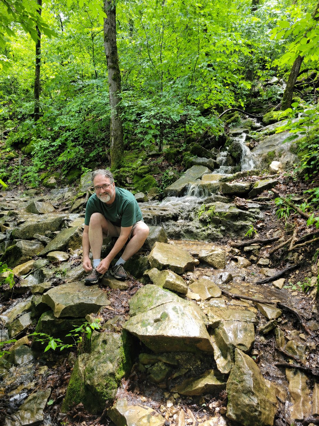
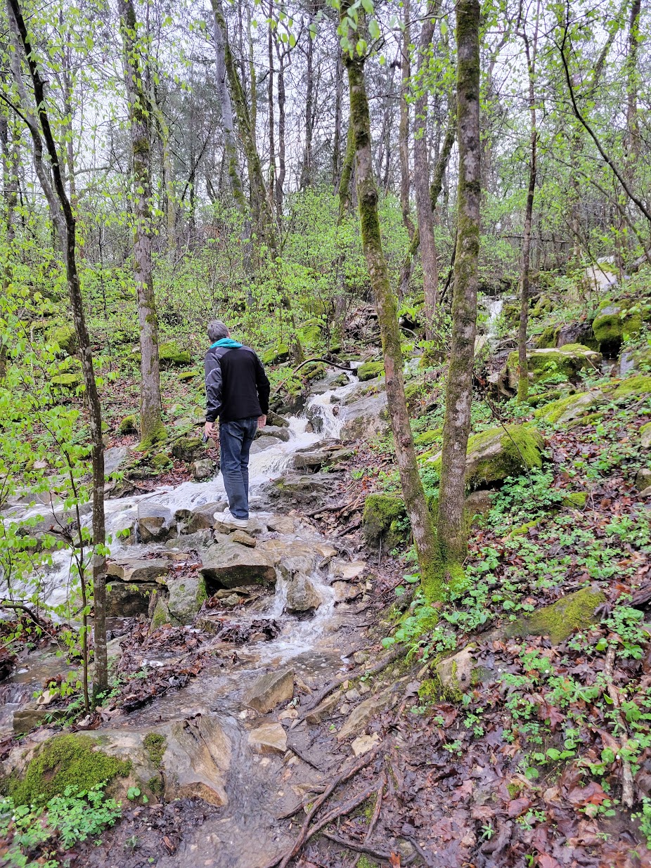
Waterfall Trail
- Location: Waterfall Trail, 1902 Roark Valley Road
- Distance: About .66 miles
- Difficulty: Moderate, with rugged spots and creek crossings
The Waterfall Trail is short, but it can be a fun stop if you want a quick nature outing. The trail includes rock formations, a waterfall, creek crossings, and a wooded setting that feels surprisingly tucked away.
One thing to know before you go: this trail can be muddy, and it may close during or after heavy rain. Use a little common sense before heading down the trail, especially if storms have come through recently.
Good choice for: A quick scenic hike, especially if you want to see a waterfall.
Dogwood Canyon Nature Park
- Location: Dogwood Canyon Nature Park, south of Branson near Lampe
- Distance: About 6.5 miles of paved paths plus about 2.5 miles of unpaved nature trails
- Difficulty: Easy to moderate
Dogwood Canyon is not a free public trail, but it is a beautiful place to spend time outdoors. The park has waterfalls, clear streams, limestone bluffs, bridges, and well-kept paths.
Because it is a private park, there is an admission cost, but the setting is polished and easy to enjoy. They also offer activities like wildlife tours, biking, horseback riding, and fishing, so it can be more of a half-day outing than just a hike.
Good choice for: A scenic, well-maintained outdoor experience with lots of photo opportunities.
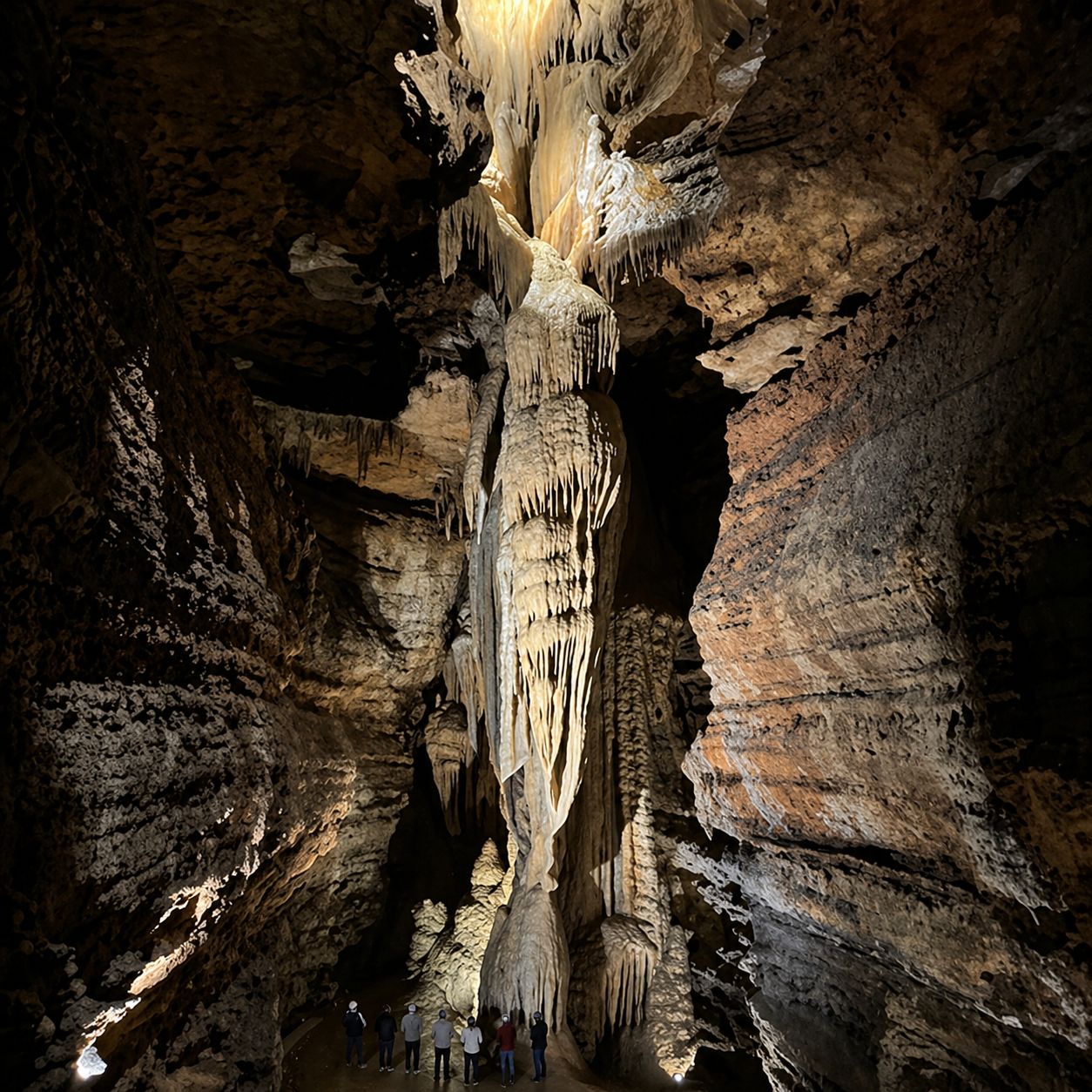
Explore a cave when the weather does not cooperate
If the weather is too hot, too cold, or too rainy for a hike, Branson also has caves nearby. A cave tour can be a nice change of pace, especially when you still want to do something outdoorsy but would rather stay cool and dry.
- Talking Rocks Cavern is one nearby option with guided walking cave tours.
- Plan for steps, uneven surfaces, and a cooler cave temperature, even when it is warm outside.
- Check hours and pricing before you go, since tours and schedules can change.
Branson has more outdoor beauty than many visitors expect
You can take an easy paved walk, climb down stone steps toward Lake Taneycomo, explore a waterfall trail, look out over the Ozark hills, or spend a few hours at a larger nature park.
The best choice really depends on your day. If everyone wants something easy, try Roark Creek. If you want views, try Henning Conservation Area. If you want something close to town with a little adventure, Lakeside Forest is hard to beat.
Pack water, wear decent shoes, and check trail conditions if it has rained recently. The Ozarks are beautiful, but the trails can get rocky, muddy, and slippery in places.